Stage 12: From Roquefixade to Montgalhard and Foix: where legends of the Counts still echo
Observations
From Montsegur you can continue to Foix passing through Montferrier and Roquefixada, the signs that must be followed will be the GRP marks (yellow and red), common marks on the GR 107 of the Path of the Good Men.
ATTENTION!
To get to Foix you have to take a bus, taxi or on foot. See the complete info below.
This stage has been modified in its final part by a property conflict. Currently from Porté Pa pass (Coll de Porte Pa), you have to go down to the north of the town of Montgailhard, the town where the GR 107 it has been cut off.
There are 3 options here, go down to Montgailhard (800 m) and look for the bus that takes you to Foix, take a taxi or continue on foot to Foix (about 6 km).
If you want to do the bus transfer, is the bus line 4. There are 5 buses a day that run every day except Sundays and holidays. Get off at the stop. from Caussou from Montgailhard and reaches Foix to the entrance next to the tourist office.
Download schedules bus
Single ticket price: €0.85, and it is sold on the bus itself.
It should be noted that if you opt for this second option walking option, you will have to be careful especially in the last part that goes along the D17 road, which despite having a wide sidewalk, is quite busy.
On foot from Foix to Montgailhard :
Duration: 01:55 / 5.98 km
D+: 90 m / D-: 20 m
Path: 2.68 km / Street: 1.45 km / Road: 1.81 km
Please note that this part is not marked as GR 107, you will not find any markings, Do you have the track available?
Download the walking route.
One last option is take a taxi, especially on Sundays and holidays that the bus is not running, to get from Foix station to Montgailhard or vice versa:
Taxi Cazalbou Cedric: 06 42 27 44 04
Taxi Deramond: 06 08 99 15 62
Taxi Chantal: 07 70 18 84 35
Taxi Alex: 06 02 13 61 96
Taxi audabram: www.taxis-audabram.eu 05.61.01.34.54 or 06.80.71.41.59
Description
0 Km (775 m) Right in front of the stage Git, you must continue along the street that leads to the track that goes up to the castle, and follow it in a northwesterly direction.
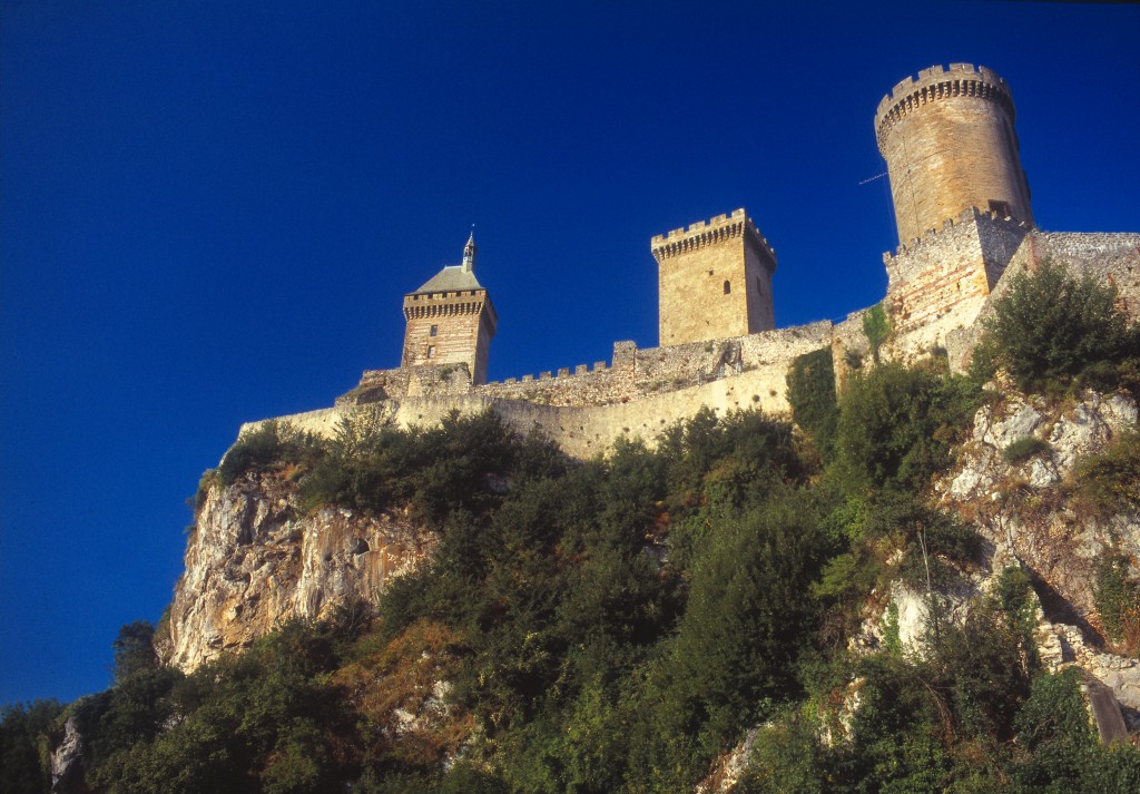
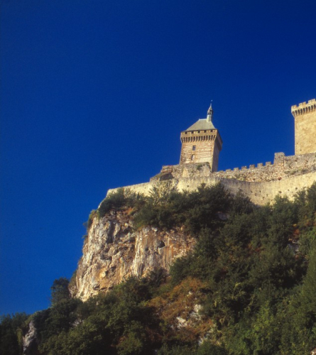
0.6 Km (832 m), 11 min. Fork at the castle. After a viewpoint overlooking the entire valley with a panoramic panel, you will find the access path to the Castle. If you have time, you can climb it, from where you can enjoy splendid views. (it's about 10 minutes uphill). To continue you must follow the path to the west.
About 200 m further on you must choose the track that goes down to the left, in a few meters it becomes an open path that descends gently.
2.2 km (782 m), 33 min. Crossroads with several paths. You must continue down the road to the left, now with a steeper slope towards Leychert.
3.1 km (634 m), 49 min. Arriving at the track where there are some houses on the outskirts of Leychert, You must follow it to the right for about 150 m. Then follow the track also to the right that goes up towards Charillon.
5.5 Km (777 m), 1 h 31 min. Charillon It is one of the largest farmhouses in the area. You go along the side, and continue along the main track, which is much flatter here. In 10 minutes you must leave it and follow the path de Lesponne which goes out to the right and climbs through a pleasant beech forest.
7.4 km (897 m), 2 h 5 min. The path ends at a wide track, which you must follow to the left.
In about 10 minutes you reach the Falcon Pass, the highest point of the stage. At this point, you must follow the path through the forest that descends south. After passing under a high-voltage line, you cross a wide meadow on the left bank to re-enter the forest.
9.4 km (860 m), 2 h 34 min. Touron Pass. You must follow the forest track to the left, which is quite flat, passing by a forest shelter. In about 250 m, at the next crossroads you must also follow the one on the left. In some sections, views open up to the North.
13.2 Km (798 m), 3 h 29 min. Coll de Porte Pa. This pass is where the path had to be diverted due to problems with landowners. You need to turn south and follow the track that begins a long descent, first gently and then more steeply towards Montgalihard.
The slope changes and the landscape ceases to be the lush forest, opening up towards the plain that lies to the south.
14.1 km (754 m), 3 h 42 min. You must leave the main track and follow the wide path that descends steeply from here towards Montgalihard. A few meters further on, it passes between agricultural areas.
16.4 km (459 m), 4 h 17 min. After passing by a farmhouse, you reach the secondary asphalt road D9A. You must follow it to the right for about 500 meters and to make it more pleasant and less exposed, it is proposed to enter Montgailhard on the first street on the left, Chemin du Stade, until it ends at Chemin de Caussou, then return to the D9A road.
17'9 Km (425 m), 4 h 38 min. Once it is linked back to the road D9A, you must follow it with caution to the left heading west, Foix.
18.7 km (415 m), 4 h 54 min. Roundabout connecting with the D117 Road, which you must follow west towards Foix. From here, pay even more special attention to traffic for about 600 meters, as it is even busier. After the first houses, you must follow the path on the left that will lead you to cross the Ariege River and enter Foix along the left bank of the river.
20.2 km (440 m), 5 h 7 min. It crosses the Ariege River and you are now entering Foix. To continue to the train station, you must enter the town center and follow the signs to the north bridge over the Ariege.
21.8 km (380 m), 5 h 31 min. Cross the Ariege River again, now towards the east side of the river, and follow for a few 200 m from the road heading north. Then you must follow the first street on the left, Pierre Semard Street.
22.2 km (384 m), 5 h 38 min. Foix Train Station. End of the stage and of the route.