STAGE 05: From Bellver de Cerdanya to Viliella: Where the strength of the Cadí meets the flow of the water.
Notes
Please be aware that the section of the GR 107 between Bellver de Cerdanya and Prullans runs along the shoulder of the N-260 road for approximately 400 metres and crosses it twice. This is a busy road, so extreme caution is required.
If you prefer to avoid this section, there is an alternative route between Bellver and Prullans, approximately 6 km long and taking around 2 hours. You can find the track for this route here, prepared by our guide from Penyes Altes. This alternative adds approximately 2 km and 150 metres of elevation gain to the stage.
The proposed end of the stage is in Viliella, at the accommodation Molí del Salt, where you have the possibility of ordering dinner and breakfast.
Description:
0.0 Km (1,028 m). Bellver de Cerdanya, in Plaça Sant Roc there is the Information Tourism Office. Continue along Avinguda de Pere Sicart, which is the access to the town for vehicles coming from the N-260 main road. Once you cross the Segre River over the road bridge, at the roundabout you must continue straight on Carrer dels Pirineus. You pass in front of the Bellver Fire Station and turn left, passing behind some buildings until you reach the road. Here you will need to proceed very carefully for about 400 m along the sidewalk. (To avoid this section along the road and the two subsequent road crossings, you can follow the alternative route described in the notes).
1.2 km (1,011 m), 17 minutes. Fork. It is Continue along the asphalt road to the right, which enters the Pla de Codina industrial area. You must cross it along the main street until you return to the road. This is where the Alberg la Bruna is located.
Once back on the road, you just have to cross it to continue along the parallel track, passing the Molí de la Clota.
2.8 km (998 m), 40 min. Molí de la Clota. You pass right next to this old mill and continue along the track until the next intersection where the tracks form a kind of triangle. You must be alert and continue straight southwest. After passing the agricultural building on the left, at the new crossroads you must also continue to the right towards the west, since the one that continues south leads towards the river.
Two more tracks are left on the left. and it stretches north again towards the National Road. You pass along the west side of the Horse center La Cerdanya Quatre Potes and go to the road.
3.9 km (1,012 m), 56 min. Road N-260. Cross over and go a little to the right until you follow the paved track that climbs north, towards Prullans.There is a campsite on the left, on the other side of the Prat del Vilà stream.
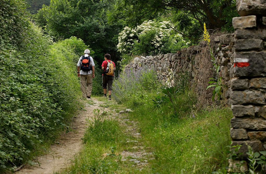
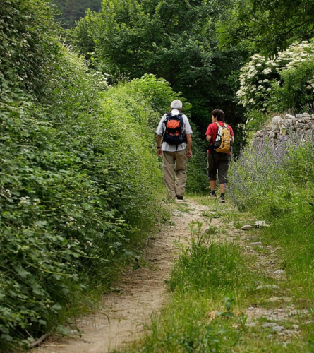
5.1 km (1,107 m), 1h 17 min. Prullans.Placeta del Colomer square, on the right is the Subirana fountain and the street Major, through which you can access the interior of the town of Prullans. The GR goes to the left along the path to Font Subirana. It soon leaves the town and continues on a track heading northwest.
5.9 km (1,140 m), 1h 31 min. The trail that leads to the houses Sotanut is left. Continue straight northwest along a wide path that follows the course of the stream. A plantation of fruit trees can be seen growing near it.
In 10 minutes you cross the stream and climb until you reach a fairly wide track, which you will have to follow to the right towards Ardòvol.
7.2 km (1,302 m), 2h. Ardovol. On the right you can access the small village of houses and the hermitage of the Mare de Deu del Roser. The GR continues up the track until you find the paved track coming from Prullans and you must continue to the right. There is a watering hole next to the road. and a fountain.
9.3 Km (1,404 m), 2 h 35 min. Fork. Leave the paved track that continues north, and continue along a track on the left that descends towards the Torrent de Coborriu. You must cross the ford and shortly afterwards follow the path that climbs to the right just before an iron gate.
The path has more open sections and sections more closed in with boxwood. After the first section of ascent, a gentle downhill slope begins.
11.7 km (1,430 m), 3h 11min.El Vilar. After crossing the canal and the Llosa river over a bridge, follow the GR a few meters upstream, but here the proposal to avoid such a long stage is to detour to the inhabited center of Viliella where there is accommodation. For the next stage, it will not be necessary to return at this point, but from Viliella you can go and connect with the GR a few meters before Molí del Salt, a little more than 1km upstream.
To go to Viliella you have to continue towards the Vilar house, to the left and to the access track to it.
12 km (1,443 m), 3h 15min. Cross the track and continue along the path that climbs to the village of Viliella. It is a straight path, but it is smoothed out by the typical detours of old paths.
12.7 km (1,567m), 3h 35 min. Viliella. End of the stage.