Stage 07_Variant: From Porta to Mérens-les-Vals (through the Ariège valley): Puymorens, land of contrasts:
Observations
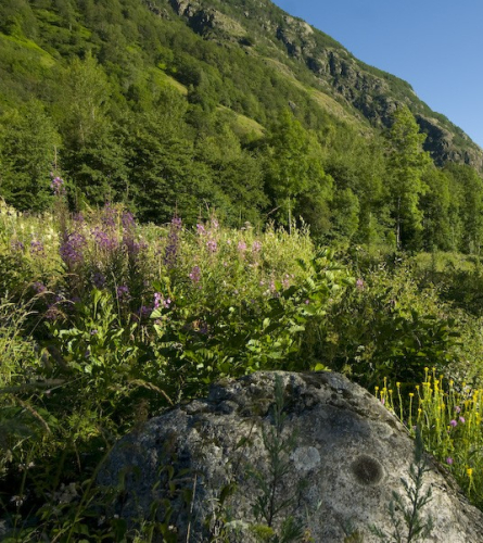
From km 10, this variant of stage 7 follows a smoother and less technical route, without going to the high mountain of Bésines. It descends to l'Hospitalet and reaches Mérens-les-Vals passing through the Ariege Valley, a much flatter route.
Here you have attached the track of only the section of the variant, the rest of the itinerary is like the main track of the GR 107
(To have the full description of the stage you must follow the 10 Km point of the description of stage 7)
Description
To the total of the stage, you must add the initial 10 km (about 3 hours) of Stage 7 from Porta.
0.0 Km (1,585 m). Crossroads where this variant separates from the main route that climbs towards Bésines. You must therefore follow the path that goes down towards l'Hospitalet, towards the southwest. In 5 minutes you must be aware that the path leaves the main one to take a path on the right that goes down to the N-22 road. Once it connects with the road, you must cross it perpendicularly and follow the path down.
1.2 km (1,438 m), 18 min Go down some stairs and you will reach the first paved street in the center of Hospitalet. You cross the road that goes up to Andorra and the train tracks through the underpass and come out at a roundabout that you must cross and go towards a paved street on the outskirts. Just in front of the last house, you cross the Ariège over a bridge and continue along the side of the football field. At the bottom, the path that you must follow begins. It is a path with sections of dry stone walls, with a slightly irregular surface that will make your ankles work.
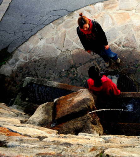
3.2 km (1,351 m), 45 min. At the foot of the path is the "Eau du Pedourres" fountain.
The path becomes wider until 1 km after the spring it becomes a track. A few meters further on it crosses the train tracks twice.
6.8 km (1,168 m), 1 h 34 min. You reach some houses, they are the Bordes d'en Haut. From here the track is paved, but you have to follow it for a few meters because it continues crossing the bridge and connecting with the N-20 road, instead the itinerary continues on a secondary dirt road, which follows the left bank of the river. About 15 minutes further on, there are more houses and a new bridge that connects to the road. The itinerary, however, continues straight along the track.
8.8 km (1,105m), 2 hours. A few meters before the CampingThe track is paved until you reach the first houses in Mérens-les-Vals.
10.4 Km (1,057 m), 2 h 21 min. Mérens-les-Vals. There is a signpost on an old and narrow stone bridge over the Ariege River. Past the bridge is the road and the rest of the town with the town hall, church, etc. Restaurants and shops are clustered along the road.
You must follow the paved path that goes up the right bank of the Le Nabre river.
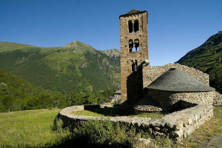
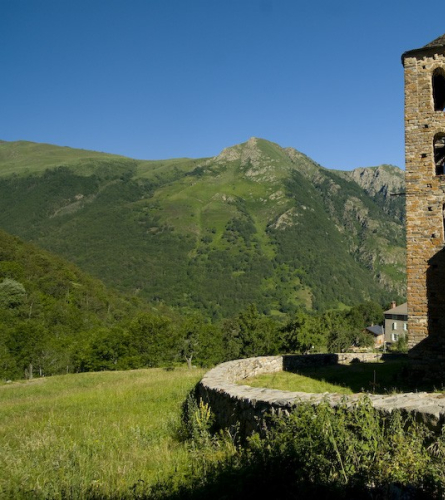
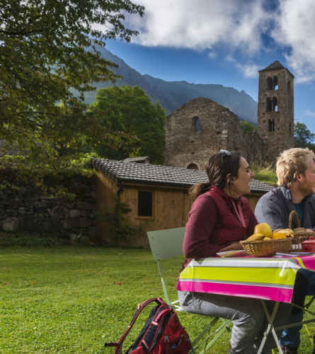
11.2 Km (1,051 m), 2 h 38 min. Romanesque Church of Sant Pere, Vives. End of the stage.