Observations
By means of vehicle transport, this third stage can be shortened, for example, saving the 4.5 km (1 h 14 min) of paved road between Bagà and the Gréixer path, or the 2.16 km (31 min) between Sant Serni de Coborriu and Bellver de Cerdanya.
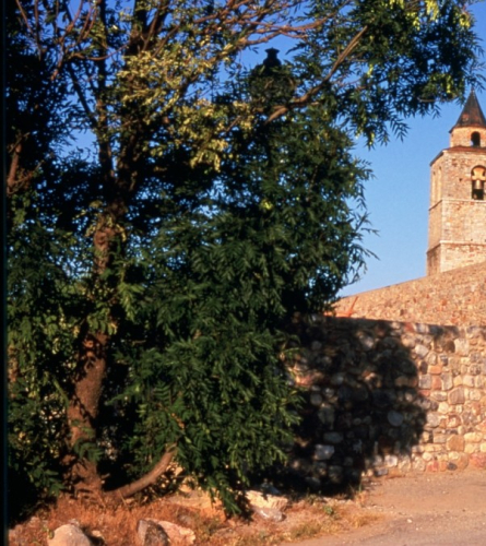
The GR 107, the GR 150 and the GR 4.2 pass through Bagà. You must be careful and follow the instructions.
At the Pendis pass, the GR 107 crosses with the GR 150-1, which follows the ridge.
Description
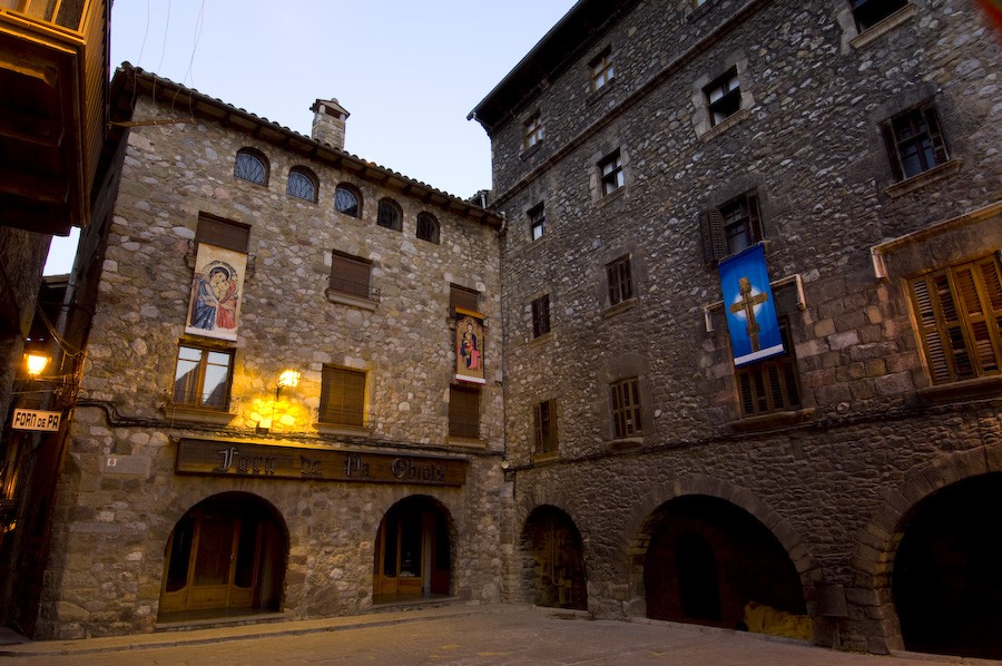
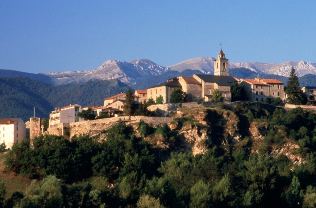
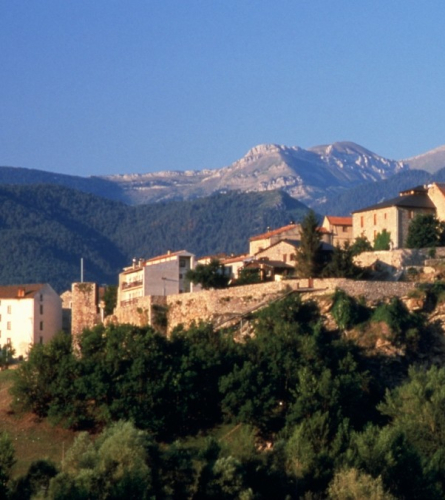
0.00 km (792 m). Baga. From the information office of the Cadí-Moixeró Natural Park (Center of the Park), you must head north along Carrer de la Vinya to the B-4024 road from Bagà to Coll de Pal. You must follow it for more than 4 kilometers, so it may be advisable to have someone accompany you by car to the Gréixer turnoff.
4.47 km (1,005 m), 1 h 14 min. Turnoff in Gréixer. You must leave the road and turn left following a track heading N. 730 m further on you will pass the access to Gréixer on your right, which is above the track. The route ends at another track (km 5.64), turns west, left, and enters the Fontbona valley. Shortly after, the climb to the Coll d'Escriu begins in the middle of the splendid beech forest of Clot d'en Pere.
8.10 km (1,504 m), 2 h 40 min. Coll d'Escriu. Fork. You must take the path opposite that leaves from the other side of the track heading west and steeply downhill. The trail goes to the left, to the SW, and will meet again further down. When you reach the track (km 8.60), turn right, towards the N.
9.07 km (1,323 m), 3 h. Fork. You leave the track along a path that climbs to the right 130 m after leaving a small farmhouse on the left. The path enters a beech forest, after passing the Les Maleses stream, and turns west through less humid terrain, always ascending.
10.75 km (1,570 m), 3 h 42 min. Refuge Sant Jordi, located in a splendid location. Managed by the Federation of Hiking Entities of Catalonia. It is not open all year round. Continue climbing in a NW direction, between the refuge and the Font del Faig spring.
11.50 km (1,782 m), 4 h 15 min. Wide Pendís pass. We leave Berguedà and enter Cerdanya. You cross a track and take the path that, on the other side, goes in a NW direction through a pine and fir forest. The path descends through the shady area of Les Cireres; you have to be careful not to lose the signs on some bends. Finally, it leads to a track that you must follow to the right, towards the N. You pass by a drinking fountain, you lead to a wide track and, on the left, you reach the Cortals de l'Ingla refuge.
13.66 km (1,604 m), 4 h 43 min. Cortals de l'Ingla Refuge. It is NOT open all year round, outside of summer, confirm opening. You must enter the fence that surrounds the shelter and turn to take the path that is under the shelter, just behind it.
13.75 km (1586 m) 4h 45 min. After a few meters we cross the track twice.
The first, we immediately continue down the path, the second, we follow the track until it curves and take a path on the left that goes down and continue the descent.
14.26 km (1389 m) 4 h 53 min. We will find a clearing track that we follow until we find a path on the right that continues descending. The path has a dry stone wall on its left and after a short while it narrows.
14.75 km (1428 m) 5 h 02 min. We find the track again, cross it (twice??) and continue down the path.
15.26 km (1326 m) 5 h 8 min. We find the track again and this time we follow it slightly uphill to the right in a NE direction for about 100m.
15.49 Km (1332 m) 5h 9 min. We take a path to the left from where we can already see the Ingla Recreation Area below. We continue descending and before reaching the house we turn left, as indicated by the markings, crossing a pasture field and heading towards the lever that crosses the river.
We cross the bridge and take the Ingla trail on the right.
15.79 km (1275 m) 5 h 13 min. We find the Recreation Area of Ingla with tables, barbecues and a fountain.
From there, we continue along the pleasant Ingla trail until we find the hermitage of Sant Serni de Coborriu.
19.51 km (1091m) 6 h 09 min. You will then reach the Romanesque hermitage of Sant Serni de Coborriu. Turn right, towards the N.
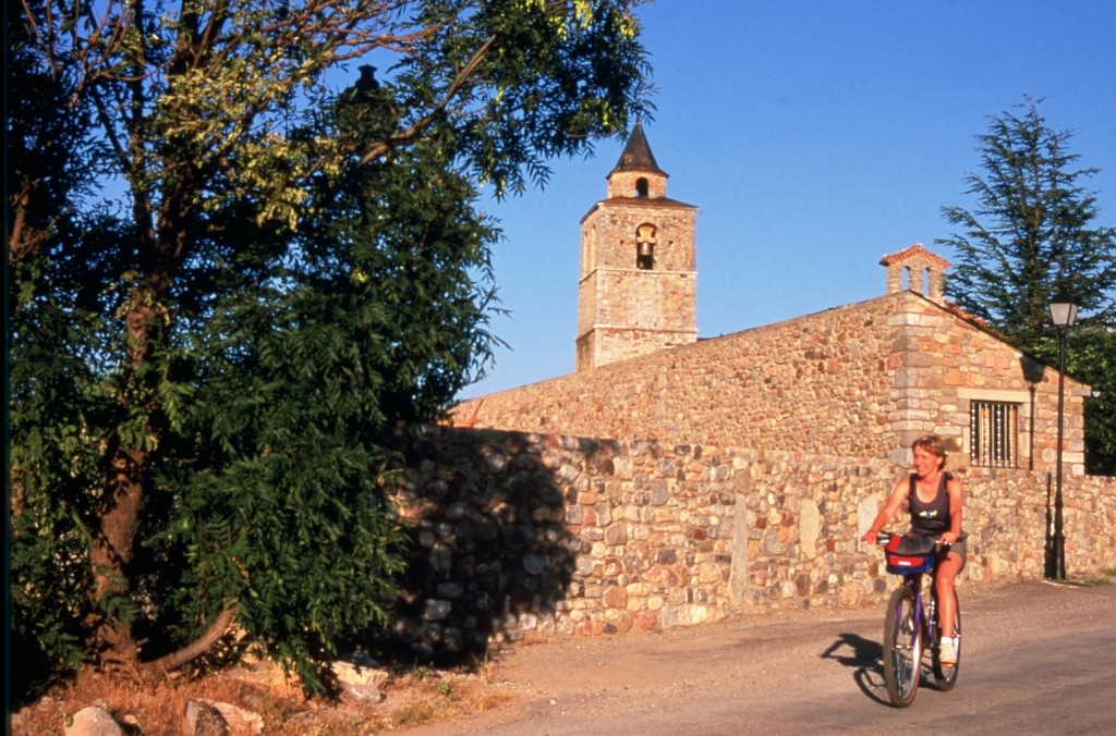
20.85 km (1058 m) 6 h 30 min. Talló and its magnificent Romanesque church of Santa Maria. Continue towards the N.
21.71 km (1027m) 6 h 45 min. Bellver de Cerdanya, Sant Roc square. End of the stage.