Observations
This second stage, which, despite being one of the shortest, accumulates, please note, 1,200 m of descent, can be shortened with the support of a vehicle at the Coll de la Bena, where a paved track from Gisclareny and Bagà arrives, or further down, at the point where the route meets the road from Bagà to Gisclareny (km 21.40), since, from this point to the end, the route runs on paved terrain.
The GR 107-3 leaves from Gósol towards Tuixén and the GR 150 arrives there. Therefore, it is necessary to be clear about the path to follow.
When you reach El Collell, you can follow a local trail (green and white markings) and descend to the Gresolet sanctuary, where there is also a refuge. From there you can return to the path towards Bagà, heading towards the Col de la Balma.
Before reaching Bagà, at the Font Nostra, we take the PR 125, which goes to Els Empedrats and allows us to climb directly to the Sant Jordi refuge (direction Bellver de Cerdanya).
Description
0.00 km (1,422 m). Gosol. From Plaça Major you must head north along the street to the left of the Town Hall. In the Agustí Pere i Pons square you must turn left towards the NW and exit on the outskirts of the town. Following the signs, a path climbs north.
1.68 km (1,629 m), 0 h 37 min. Font Terrers pass and leisure area. You must continue north. 400 m later, you leave the path that goes up to Pedraforca on the right hand side through the Verdet pass, pass the Coma dels Caners stream and climb to the meadows of the Serrat de la Portella (km 2.50). The path blurs. You have to turn north to go through a gap in the mountains, a real door that serves as a passage.
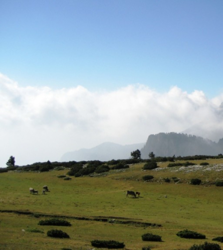
2.66 km (1,754 m), 1 hour. Pas de la Portella. On the other side, walk 200 m in the same direction as before until the path turns to the NE. Opposite, to the N, the enormous and barren ridges of the S slope of Cadí fall gently onto the Josa valley, where a track climbs to the nearby Collell pass.
3.48 km (1,757 m), 1 h 12 min. Source of the Rock. Natural spring that always flows. It continues to flank towards the NE.
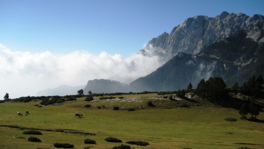
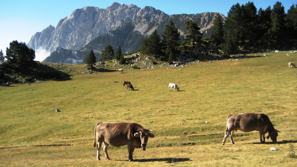
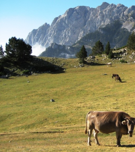
4.32 km (1,832 m), 1 h 30 min. Cattle fence. The yarn is passed through a wooden and wire gate. You leave on the Josa de Cadí track in Collell, cross it and continue straight for about 100 m until you find the track that goes up from the Col de la Balma and that joins the previous one a little further to the right, in the very center of the Collell pass. Continue to the left, gently descending, skirting the southern ridges of Cadí and passing, successively, the Bassotes and Torn passes. To the south, spectacular views of the dizzying north wall of Pedraforca and the Gresolet valley.
10.97 km (1,573 m), 2 h 58 min. Coll de la Bauma Bifurcation. Magnificent view to the east over the Bastareny valley, which will be followed to Bagà. Leave the track on the right, which goes to Gresolet and Saldes to the W, and continue down to the left, turning clearly again to the E. A little further on, after the bend, on the left there is a recreation area and the Bauma fountain. You must continue walking down the track.
13.40 km (1,436 m), 3 h 30 min. Coll de la Bena Crossroads. The one that goes to the right, paved, leads to Gisclareny and Bagà. You must leave the track you were following and go down the path on the left in a N direction, leaving another track that leaves from the same point diagonally to the left, below the track you were coming from. The path descends steeply for 90 m to the nearby and clearly visible Font Vella spring, turns east, to the right, and enters the forest.
14.66 km (1,323 m), 3 h 50 min. Cross perpendicularly the previous track, which has described a sharp bend and now descends in the opposite direction. It continues on the other side, under the thick layer of forest.
15.90 km (1,142 m), 4 h 10 min. You leave again on the previous track, which you now follow to the right, again in an E direction. 600 m later (8 and a half min), in a sharp bend, there is a fork; you leave a track that goes to the left and continue on the main track, towards the south, and then to the E.
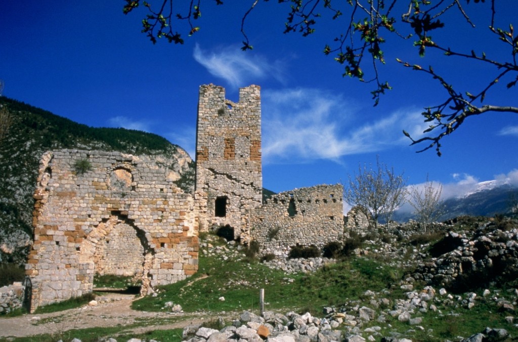
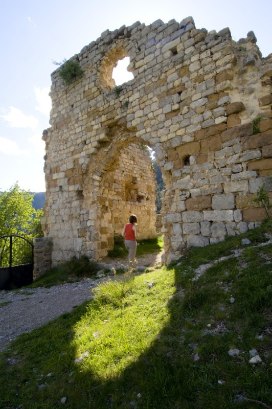
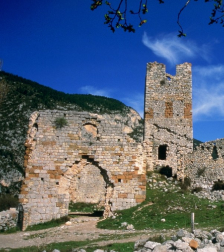
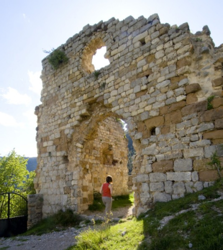
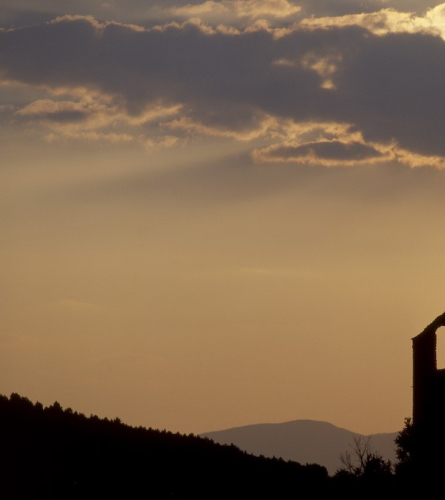
17.83 km (979 m), 4 h 36 min. At another sharp bend, the track is left and the path turns left onto the path that, in 200 m, leads to the abandoned farmhouse of Puig de Baga. A little further on, perched on a hill, is the Romanesque hermitage of Sant Martí del Puig which, if you have time, is worth visiting. Just to the left of the track, next to the first building, a path descends through the forest in a northerly direction until it reaches the track that runs parallel to the Bastareny River (km 18.63).
19.00 km (914 m), 4 h 53 min. You reach the neighborhood of Hostalet. Before passing the Font del Faig stream, a path goes off to the left, passes by the Hostalet, goes up the valley passing through the Empedrats pass and joins, at the Sant Jordi refuge, with the itinerary of the third stage of the Camí dels Bons Homes. However, continue straight ahead on the wide track. Past the stream, next to Can Cerdanyola, is the Font Nostra. The track turns E again and now follows the course of the Bastareny River.
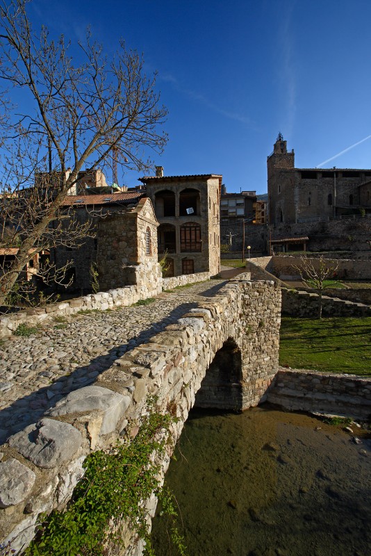
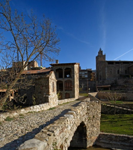
21.40 km (849 m), 5 h 25 min. Asphalt road from Bagà to Gisclareny. Continue straight ahead, heading NW, always on the asphalt. Further on, before Bagà, you pass by a campsite. This stretch of road is perfectly economical. You enter Bagà in the E direction through Pere Tomic and d'en Calic streets. In front of the church of Sant Esteve, turn left and go straight to Plaça de Catalunya.
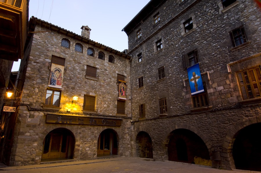
23.82 km (798 m), 6 hours. Plaça de Catalunya de Bagà. End of the stage.