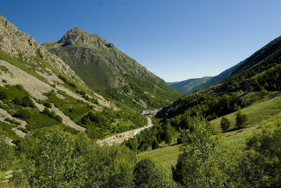
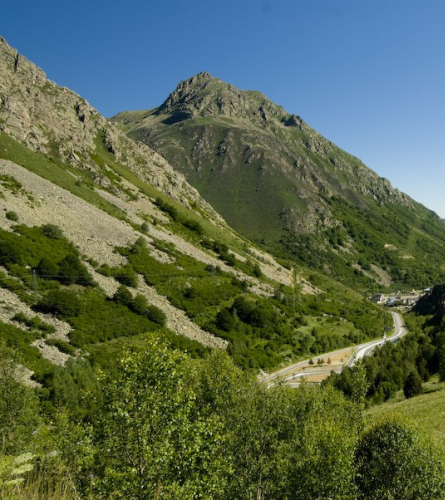
From Porta to Mérens-les-Vals (through the Ariège Valley) - The Puymorens, land of contrasts
Observations
The variant of the GR 107-2 that goes through the Béssines is designed only for hikers. Bicycles and horses are better off following the GR through the Ariège Valley
Description
0.0 km (1,511 m) Gate. If you have entered the town, you must return to the tunnel that passes under the train track, so cross the N-20 road, go through the aforementioned tunnel and take the paved road to the right. 2 min later (0.175 km), an asphalted path that comes from under the train track crosses the GR. You do not have to cross the road, continue straight and leave this path on the right. The path follows a good stretch between the SCNF road and the Querol River. After 10 minutes (0.898 km) you leave the paved road and go left towards a bridge that crosses the Querol River. The route continues on the other side of the river.
1.577 km, 18 min. Just before the southern mouth of the Puymorens tunnel, the road divides into two. Always follow the one on the right, which goes up. 2 min later, (1.722 km) there is a fork with a signpost at the confluence with the GR 7; the GR 107, together with the first, goes left and up.
2.084 km, 27 min. Fork after a very steep climb, in front of the Torre Cerdana castle and two high-voltage lines, the path ends suddenly. You must turn sharply to the left and enter the forest along a path. 7 min later (2.505 km) there is a fork where the GR passes between two stone banks when you reach a crossroads of paths. You must follow the path between the stone banks, leaving the one that comes out on the left.
2,656 km, 37 min, Porté-Puymorens Ski Resort. The GR crosses the route of a ski lift, which makes it somewhat difficult to follow this path in the middle of the ski season. 9 min later (3.599 km) there is a fork after having climbed a ski slope and just below a high-voltage tower, a wide path emerges that you must follow to the right.
4,487 km, 1 h 5 min, Planeil car park. At the Porté – Puymorens ski resort. At the parking lot, turn right, towards the bar, and follow the path that, behind it, goes up to the Puymorens pass, which is now very close.
5,409 km (1,920 m) 1h 16 min, Coll de Puymorens. You must continue towards l'Hospitalet. Cross the N-20 road to continue on the other side. To the right of the road (north direction) is the path that must be followed. Then leave the road, on the right at the height of a sign with a roof, the track that follows the GR comes out.
6.512 km, 1 h 29 min, Rec d'Engracies. The track crosses a small bridge. 3 min later (6.697 km) there is a junction where the main path appears to turn right and go up, but the GR continues on the track on the left.
7.512 km, 1 h 44 min. Fork where you leave the main track, which goes up to the right, and take a side path, to the left, which begins with a clearly descending path. There are good panoramic views. 8 min later (8.163 km) you must follow the path on the left, which is clearly the main one and leads to the bottom of the l'Hospitalet valley.
9.619 km, 2 h 14 min, Borda. To the left of the path, there is a small house that can be used as an emergency shelter.
10.867 km, 2 h 32 min. Fork where on the right you leave a path that climbs up the mountainside, you have visual contact with the town of l'Hospitalet and the path to follow is not too bad. 2 minutes later (11 km) there is a fork with an indicator post, at the starting point of the GR 107-4, which, on the right, also goes to Mérens but through the spectacular (and much harder) variant of the Coll de les Bessines. We continue along the same path we were following.
11,785 km, 2 h 43 min, Road N-20. The path leads to the road that you have to cross perpendicularly and you can already see how the path you were following continues downwards.
12,217 km (1,420 m) 2 h 51 min, L'Hospitalet - near - Andorra. You reach the first paved street, cross the road that goes up to Andorra and the SCNF tracks. 4 min later (12.517 km) there is a fork where you must leave the road to take a paved path that goes off to the left.
16.137 km, 3 h 41 min. Building and fork. At the foot of the track, on the right, there is a house and a few meters further on, you leave the track to go left and down towards a passage under the train tracks. After passing the bridge under the train, turn right to continue along the track. Later you pass to the left of a colony house and below an aqueduct. At 4 h 32 min (20.264 km) there is a campsite where there is a fork, leave an asphalt track that comes out on the left and continue along the side of the campsite. From this point on the road is paved.
21,520 km (1,052 m) 4 h 50 min, Mérens-les-Vals. There is a signpost on an old and narrow stone bridge over the Ariège River. Past the bridge is the road and the rest of the town with the town hall, church, etc. Restaurants and shops are clustered along the road.