Observations
At Creu de Talló, the GR 150 (start of the Segadors route) turns left.
You have to be careful because the section from Bellver de Cerdanya to Prullans crosses the N-260 several times. There is an alternative path between Bellver and Prullans of about 6.09km and 2 hours of travel, here the track of this path from our Penyes Altes guide
This stage is very long, so it is recommended to divide it, it could be in Viliella at the rural accommodation Salt Mill
There is no shelter in Cal Jan de la Llosa nor any tourist service, but They offer the possibility of camping in the meadows and have tents for rent.
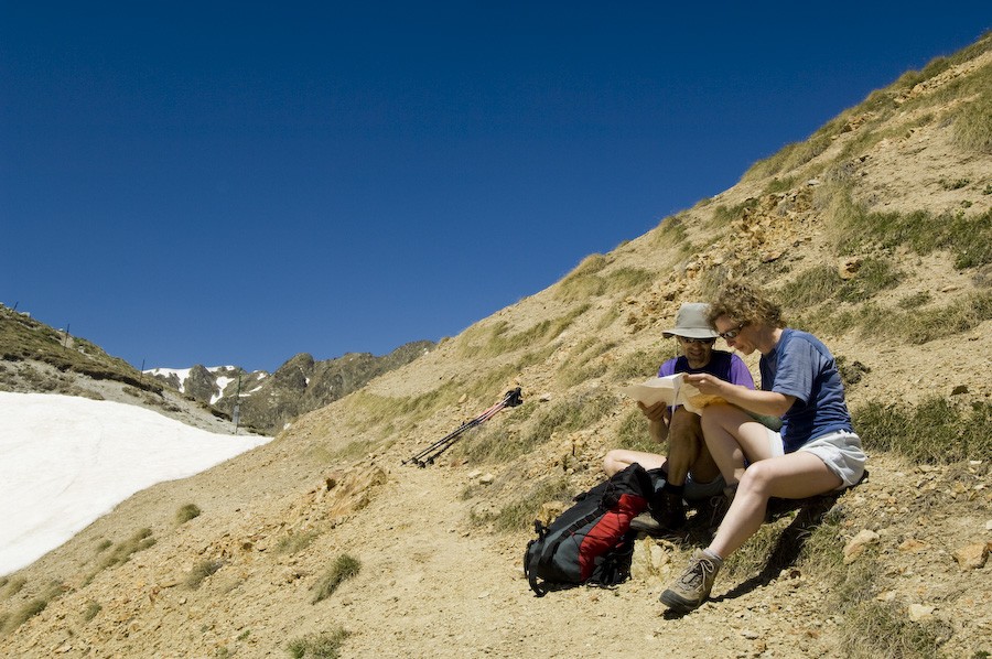
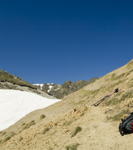
In Portella Blanca, from November to May, there may be snow. You need to check the condition of the section and be prepared.
In the Llosa valley, the GR 107 intersects with the GR 11 and the GR 7. We must pay attention so as not to stray.
There is no drinking water in Portella Blanca.
DESCRIPTION:
0.00 km (1,030 m). Bellver de Cerdanya, information office of the Cadí-Moixeró Natural Park in Plaça Sant Roc. Currently, as of 2006, the Camí dels Bons Homes ascends to Coborriu de la Llosa through Prullans and Ardòvol. It is 10.30 km, practically all on asphalt, with the particularity that more than 3 km must be done along the shoulder of the busy N-260 road. Until recently, the Way went to Coborriu through Ordèn and Talltendre, further to the E, via an 8.30 km paved track and, then, along 7.30 km of dirt tracks and paths. None of these paved sections are satisfactory. It is therefore advisable to be transported by vehicle to Talltendre, via Ordèn, or to Coborriu de la Llosa, via Prullans. Work is underway on a path that will avoid asphalt as much as possible. Meanwhile, here the second version has been chosen, the old itinerary, longer but much quieter and whose attraction is the beautiful crossing along the interesting path between Talltendre and Coborriu de la Llosa, with an unsurpassed view of Cerdanya and the Tosa, Moixeró and Cadí mountain ranges.
We then leave Plaça Sant Roc towards the main road N-260 from Puigcerdà to La Seu d'Urgell. Once there, turn right. 150 m later you leave the main road to take the paved track to Ordèn.
6.65 km (1,478 m), 1 h 56 min. order Continue along the paved track to the left, to the NW, without entering the town centre.
8.35 km (1,572 m), 2 h 25 min. Talltendre. When you reach the village, turn left without entering it. Continue in a SW direction. The asphalt ends; the route follows the dirt track west.
12.25 km (1,657 m), 3 h 30 min. La Bastida, large isolated farmhouse. Turn north, leave the track that goes up from Ardòvol on the left and continue towards the W.
15.55 km (1,540 m), 4 h 15 min. Coborriu de la Llosa. Go past the church, leaving it on the right, and take the paved track that continues in a SW direction. 350 m later, in the middle of a sharp bend, you leave the main track that goes to Viliella and take another one on the right, towards the N, which goes into the eastern slope of the great valley of the Llosa. Leaving aside the occasional detour, the trail continues straight north.
19.07 km (1,606 m), 5 h 08 min. On the left a deviation leads to the large farmhouse of Can Jan de la Llosa. Continue along the right-hand fork, now heading N/NE. The slope increases in order to overcome the ridge that leads to a flat area occupied by meadows (a calm, in Pyrenean terms). To the west, on the left, you can see the ruins of La Llosa Castle on the rock. At the end of the comma (km 21), another ridge forces the path to zigzag. At the top, we continue to advance towards the N. We are now at 1,800 m altitude and the landscape changes rapidly, taking on an alpine appearance.
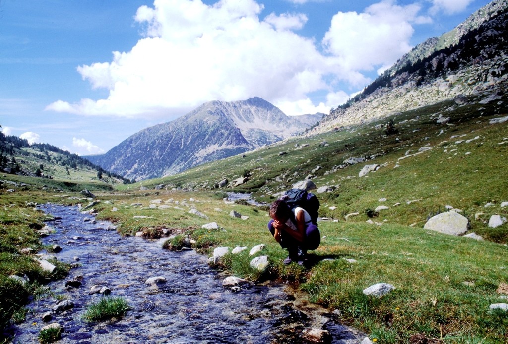
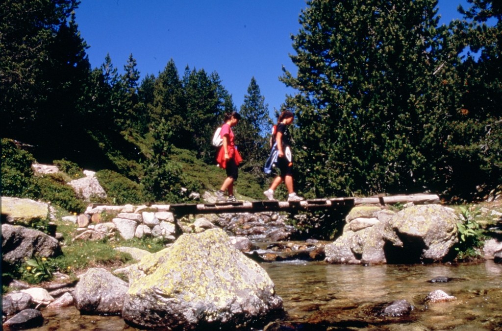
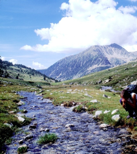
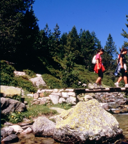
23.60 km (1,970 m), 6 h 31 min. You cross to the other side of the Llosa river over a bridge. The landscape has changed radically and we are now in the middle of a high mountain environment. After a kilometer and a half the path, which has gradually become narrower, turns west, to the left, pointing towards Vallcivera, on the other side of which is Andorra.
25.20 km (2,056 m), 6 h 58 min. Vallcivera fork. Leave the turnoff that goes to the west (where the GR 11 trail also slips away) and turn north, to the right, to cross the Vallcivera River over a small bridge. You enter a territory where the references are not very precise and the path is often poorly marked. In case of fog, when the white and red signals become poorly visible, it is necessary to alert the sense of orientation to the maximum. 170 m (two and a half minutes) further on you pass by the Esparvers hut, a precarious shelter in case of bad weather. The trail turns sharply to the SE, to the right, then heads to the E and, 100 m after the hut, to the N/NE, now to the left, climbing gently but steadily through the Engaït valley and keeping, for the time being, the stream on the right.
27.40 km (2,266 m), 7 h 41 min. It goes on the other side of the Engaït rivulet. The path continues heading N/NE. For a while, until you pass the Portella Blanca, you are on Andorran soil.
28.18 km (2,365 m), 8 h. The trail begins the final climb describing loops and zigzags to gain altitude to the Portella Blanca pass, clearly visible to the E of this point, on the right according to the direction taken so far.
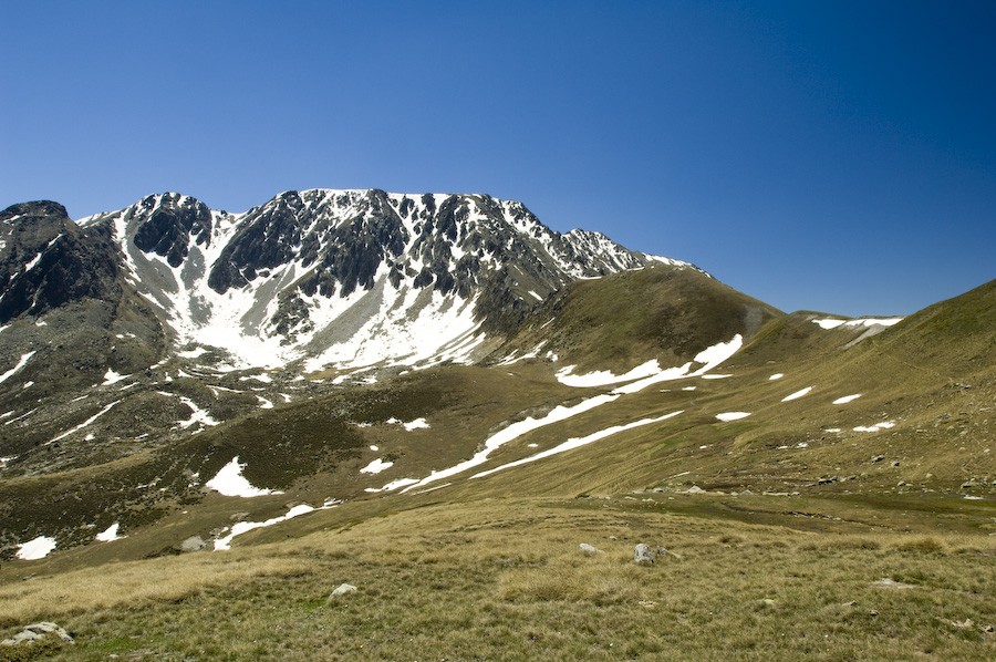
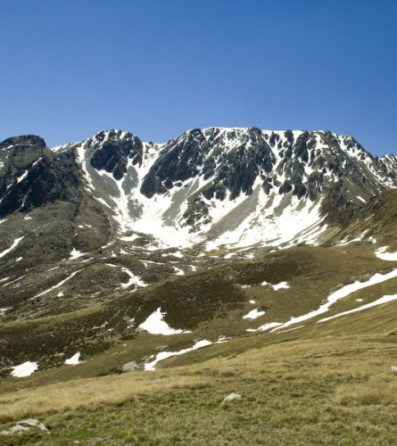
29.33 km (2,521 m), 8 h 26 min. Coll de la Portella Blanca is the highest point -the roof- of the Camí dels Bons Homes. On the other side, the wide Campcardós valley, in the Cerdanya Nord region, now in the French state, extends eastwards, dominated by the lofty peaks of Puigpedrós, 2,914 m, Roc Colom, 2,686 m, and Peiraforca, 2,647 m. It descends eastwards. The path follows the bottom of the valley through open terrain, staying to the left of the river for 3 km until, to bypass the Gros and Petit lakes -practically filled with silt or already full of alluvial material-, it passes to the other side of the watercourse to return, after a short while, to the other side.
34.74 km (1,636 m), 9 h 36 min. Campcardós cabin. Help in case of need. We continue descending, always keeping the river on our right, an increasingly rapid and flowing river that, further down, forms small waterfalls.
39.16 km (1,511 m), 10 h 35 min. Porta, North Cerdanya. End of the Catalan stages of the Camí dels Bons Homes. From here, the route skips the Pimorent pass and enters Occitan lands to reach Montsegur in four days, passing through Merenç de las Vals (Merens-les-Vals), Acs dels Tèrmes (Ax-les-Termes), Orlú, Montelhó (Montaillou) and Comús. The train line - the station is right next to the town - can serve as a link with Tor de Querol and Puigcerdà.