Observations
By means of transport by vehicle, this third stage can be shortened, for example, saving the 4.5 km (1 h 15 min) of paved road between Bagà and the Gréixer path, or the 2.2 km (about 30 min) between Sant Serni de Coborriu and Bellver de Cerdanya.
Before reaching Bagà, at Font Nostra, it intersects with the PR-C125, which goes to Els Empedrats and allows you to climb directly to the Refugi de Sant Jordi, where the next stage passes (direction Bellver de Cerdanya). It is an option. to save money asphalt, but it does not enter the town of Bagà.
The GR 107, the GR 150 and the GR 4.2 pass through Bagà. You must be careful and follow the correct instructions.
At the Pendís pass (Coll de Pendís) , the GR 107 crosses with the GR 150-1, which follows the ridge.
If you in stay in Prullans Hotel, Cerdanya Ecoresort offers a free transfer from Bellver for the hikers.
Description
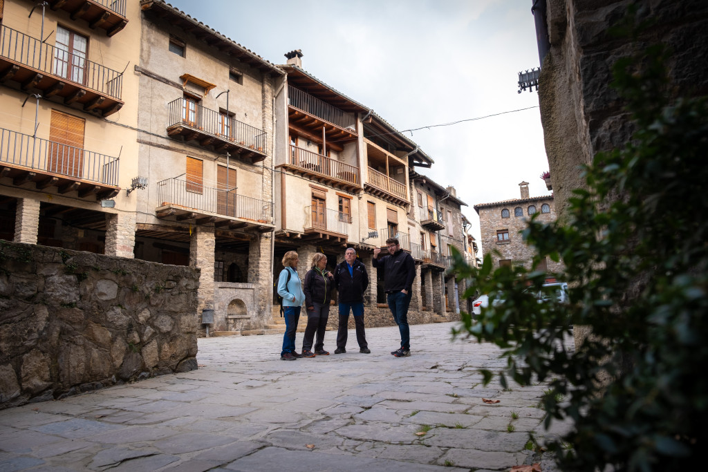
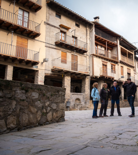
0.0 Km (792 m). Bagà. From Plaça Porxada de Bagà, you must go to the information office of the Cadí-Moixeró Natural Park (Center of the Park), and from there along Carrer de la Vinya in a northerly direction to the B-4024 road from Bagà to Coll de Pal. You must follow it for more than 4 km, so it may be advisable to have someone accompany you by car to the Gréixer turnoff.
2.8 km (893 m), 45 min. Riugrèixer. Large space next to the river with a recreational area where you can make a quiet stop.
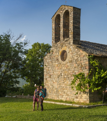
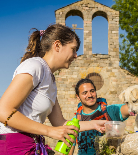
4.3 km (999 m), 1 h 11 min. Turn off at Gréixer. You must leave the road and continue along the track that climbs to the left that goes to Gréixer. In 15 minutes there is access to the inhabited center with its hermitage in the background.
The GR does not pass through the town centre, but it only takes a few minutes to get there.
The itinerary always follows the main track, and enters the Fontbona valley. Shortly after, the climb to the Coll d'Escriu begins in the midst of the splendid Clot d'en Pere beech forest.
8 Km (1,509 m), 2 h 38 min. Coll d'Escriu. You must leave the track and follow the path that cuts through it in a steep descent. Once you find it, follow it a few meters to Escriu's house.
8.9 km (1,312 m), 2 h 56 min.Escriu. Old farmhouse located in an impressive viewpoint with great views of the Bastareny valley. The path climbs to the right after leaving the small farmhouse on the left, and enters a beech forest. After passing the Maleses stream, it turns west through less humid terrain, always ascending. There are some paved sections that denote the importance it had in past times.
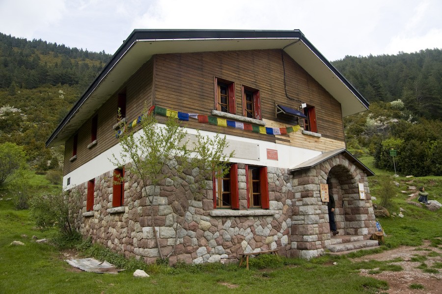
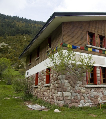
10.8 km (1,565 m), 3 h 39 min. Sant Jordi Refuge, located in a splendid location. Managed by the Federation of Hiking Entities of Catalonia. It is not open all year round. The path passes on the right side and continues climbing in a northwest direction. Before reaching the refuge, you can make a foray to the Beech Fountain.
11.9 Km (1,781 m), 4 h 15 min. Pendis Pass (Coll de Pendís). Wide border pass, leaving Berguedà and entering Cerdanya. You cross a track and follow the path that descends through a spectacular forest of pine and fir trees. The path descends through the shady area of Les Cireres; you have to be careful not to lose the signs on some bends. Finally, it leads to a track that you must follow to the right. It passes next to a drinking fountain and connects with a wider track. You must follow this to the left and in a few minutes you will reach the Cortals de l'Ingla refuge.
13.8 Km (1,608 m), 4 h 42 min. Cortals de l'Ingla Refuge. Previous book is needed if you want to sleep here, because it is not open all year round, please confirm opening times. You must enter the fence that surrounds the refuge, go around it to the east and continue along the path that passes behind it. Go down and cross the access road. It crosses it at several points and in some sections you have to follow it for a few meters. You have to be careful not to get lost and follow it for too long, as although the direction is good, the day will be longer, the path going down is more direct.
16 km (1,280 m) 5 h 19 min. After crossing the river on the pedestrian bridge that is under the Mas de l'Ingla de Baix, you will find the Ingla Valley Recreation Area with tables, barbecues and a fountain. From here you must continue along the pleasant Ingla track until you find the hermitage of Sant Serni de Coborriu.
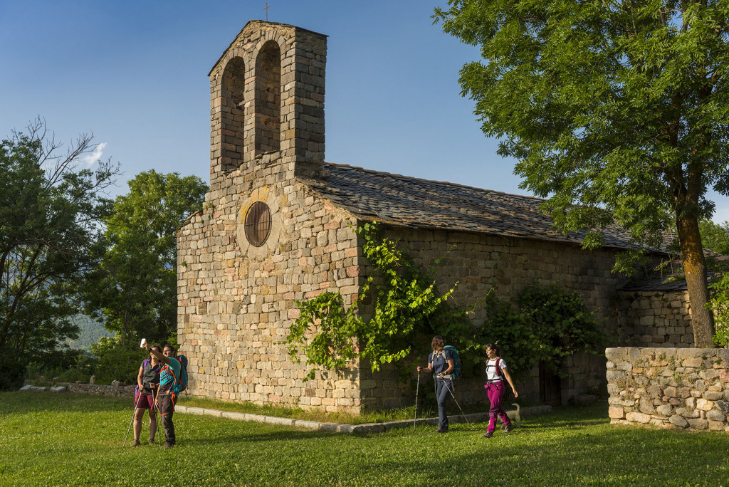
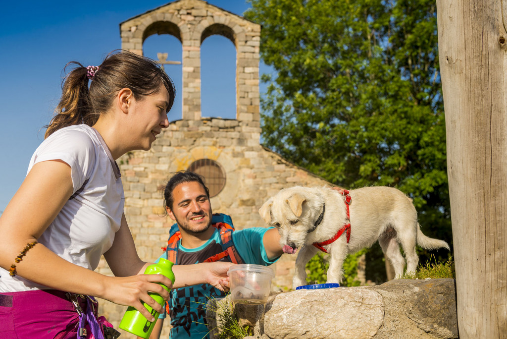
19.7 Km (1,091 m) 6 h 8 min. Romanesque hermitage of Sant Serni de Coborriu. You must continue on the track that descends gently towards Talló and Bellver.
21 km (1,057 m) 6 h 25 min. Talló and its magnificent Romanesque church of Santa Maria. You must continue straight north.
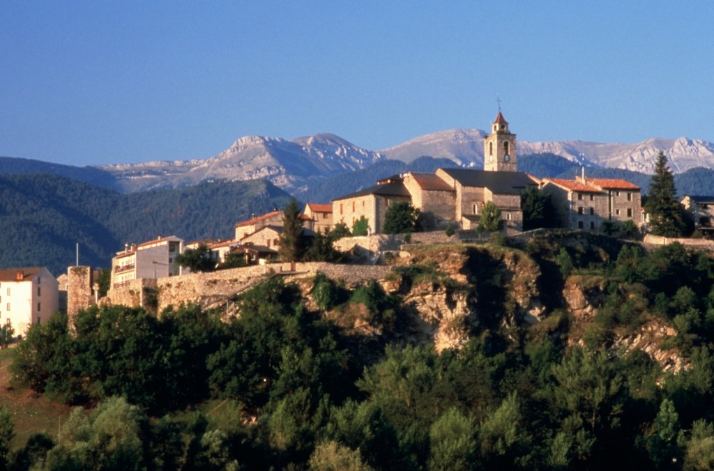
21.8 Km (1,028 m) 6 h 37 min. Bellver de Cerdanya, Sant Roc square. End of the stage.