Stage 10: From Comús to Montségur: A Journey through Majestic Gorges and Cathar Legends
Observations
In the rainy season, the climb before reaching Montsegur is very muddy, so you need to wear good shoes.
From Montsegur you can continue walking to Foix following the path marked as GRP (red and yellow signs).
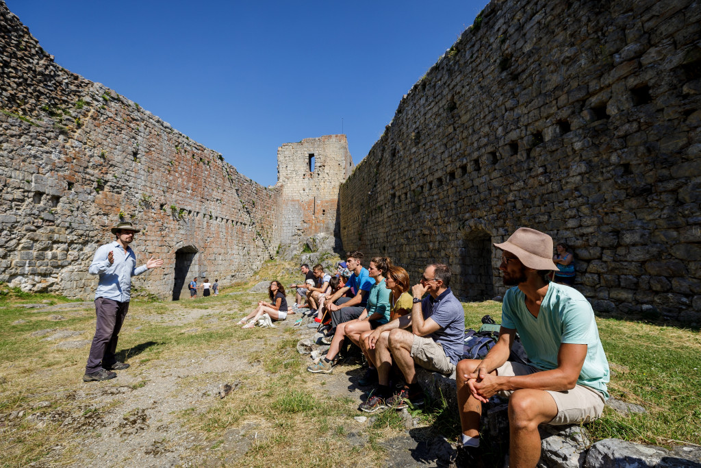
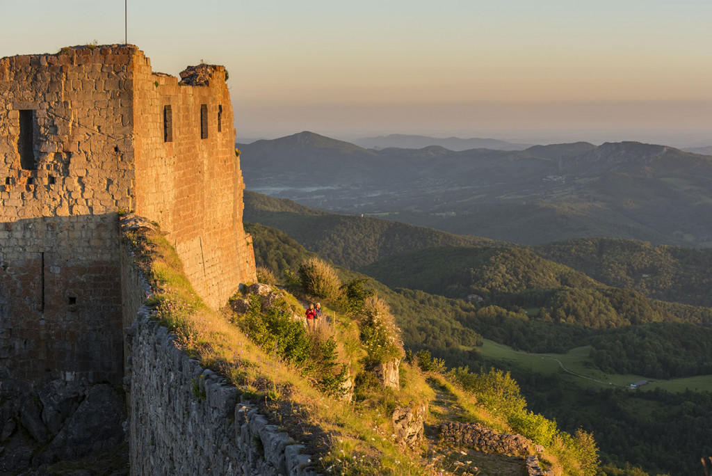
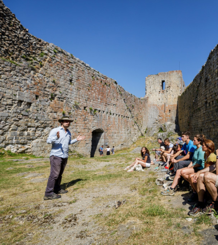
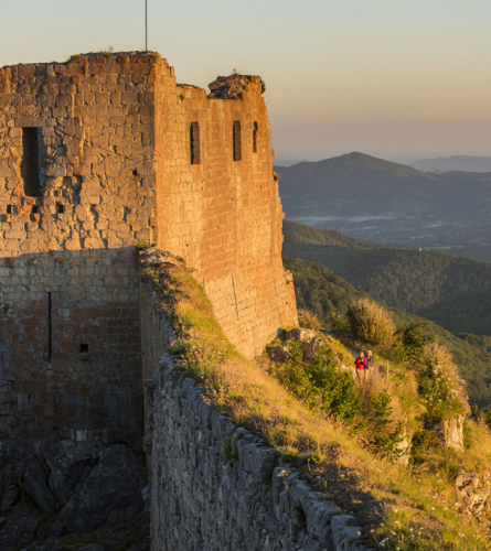
Once in the town of Montsegur you can continue about 2 km of the next stage and go up to visit the castle. The access path to the castle has a steep slope. In total from Montsegur it is about 30 minutes.
To access Montsegur Castle it is necessary to pay an entrance fee. (Adults: €5.50, Children from 8 to 15 years old: 3€, Children under 8 years old: Free).
Description
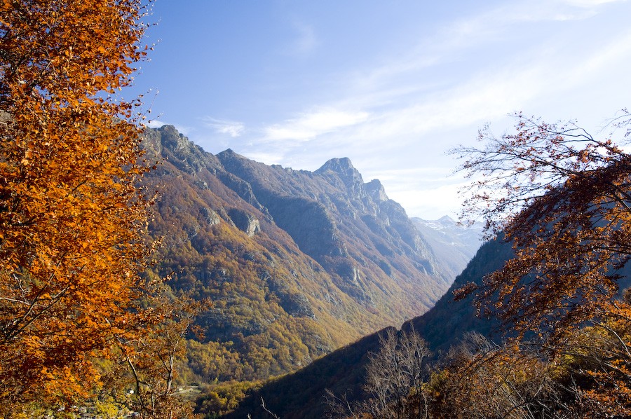
0.0 Km (1,168 m) Comus. You must return to the entrance of the village and continue west along a forest track with the first section paved, which goes into the bottom of the valley. After about 15 minutes, you will reach a fork with a signpost; you must continue down the main track.
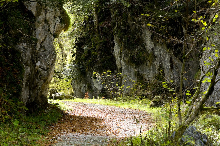
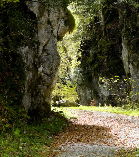
3.1 km (1,053 m), 42 min. Gorges de la Frau Path. You have to follow him and go into the gorge. The valley here is already very narrow, which announces the proximity of the bottleneck. After a steep, uneven descent, you arrive below the highest peak, at the deepest and narrowest point of the gorges. From here the path and the gorge begin to open up to the exit.
5.4 km (714 m), 1 hour 20 minutes. At the end of the corridor begins one asphalt road, is the northern access to the Gorges. You must follow a section of this narrow road, which continues downhill following the course of the river.
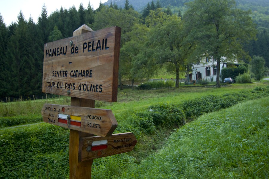
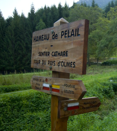
7.7 Km (609 m), 1 h 51 min. Pelai At the entrance to the small village there is a crossroads where you turn left onto the only street. A gradual climb begins, in a very beautiful natural environment, following the Rivels torrent, where large fir trees stand out. There is a point where you can choose to follow two paths, it is advisable to follow the markings even though the two end up converging.
10.5 km (1,034 m), 3 h 6 min. After a steep climb, the path gradually loses its slope and becomes flatter, an indicator that it is almost time to begin descending towards Montsegur. In 10 minutes you will find a new fork in the road, you must continue to the left, making a 90º turn to the northwest. In another 15 minutes you will come across a track that you must also follow to the left.
12.7 km (865 m), 3 h 38 min. After crossing the Lasset river over a bridge, the paved road goes up to the road. You must follow it a few meters to the left, and continue along the path that goes straight up towards the town of Montsegur, which can already be seen in the background. You pass through the municipal campsite and along a path you enter through the streets of the southeast of Montsegur.
13.9 Km (934 m) 4 h, Montsegur. The route of the GR leads up to the north of the town. End of stage
From this point the next stage begins if you continue towards Foix, but you can also choose to follow it for a stretch to go up to Pla dels Cremats and visit Montsegur Castle to end the day.