Observations
The proposed start of the stage is in Viliella, where there is the rural accommodation Molí del Salt with the possibility of ordering previously half board (dinner and breakfast).
In the Vall de la Llosa, the GR 107 intersects with the GR 11 and the GR 7. You have to pay attention so you don't get lost.
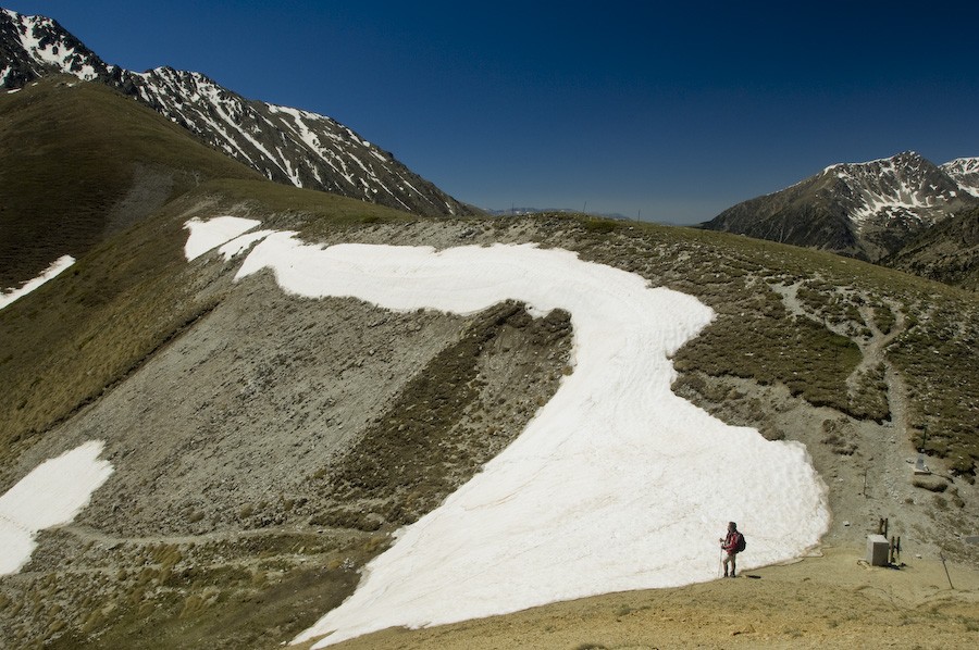
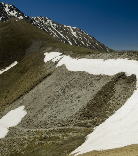
In Portella Blanca, there may be snow during the winter months, approximately from November to May. You need to check the condition of the section and be prepared.
Description
0.0 Km (1,567m) Viliella. From the church of Sant Sebastià, it is not necessary to go down again to El Vilar (although it is an option), but the proposal is to continue to the beginning of the path where you went up in the previous stage, but continue along the one that goes north towards Salt del Molí; a pleasant path that will save some elevation and distance.
1.4 Km (1,500 m) 19 min. GR link. Once it connects with the GR 107, you must follow it north.
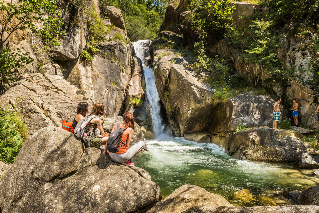
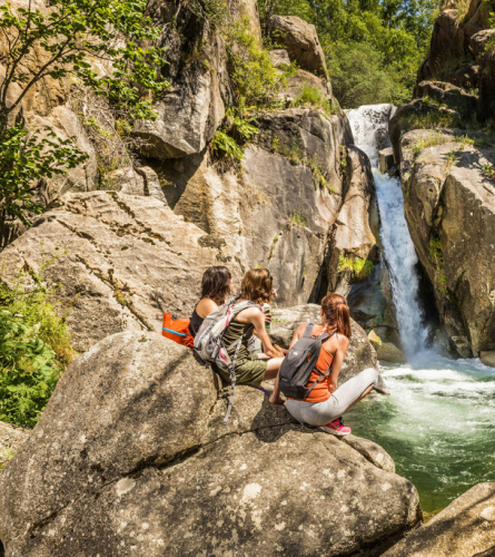
1.6 km (1,493 m), 22 min. Salt del Molí (waterfall) Before crossing the river again on a footbridge, if you want, you can follow the path to the left to approach the beautiful Salt del Molí.
Once you have crossed the river on the footbridge, in about 5 minutes the path leads onto a track that follows the course of the river now on the left bank, and which you will have to follow until it ends, at the Xiuxirà meadow.
2.7 km (1,576 m), 42 min. Borda del Gasconet. Small hut on the left. From here the track leaves the bottom of the valley and climbs at times more steeply and at others more flatly along the east bank of the river.
3.1 Km (1,611 m), 50 min. Fork. You must continue along the track to the right. The one on the left comes from Cal Jan de la Llosa which can be seen from this crossroads, one of the important old farmhouses in the valley. Higher up you can see the ruins of an old fortification.
4.4 Km (1,740 m), 1 h 15 min. Barraca de la Farga. Another building that shows how life in this valley used to be busier, in this case a dry stone hut that is still quite well preserved.
Shortly afterwards the path connects to the west with the GR 11.10.
Further east are the remains of the walls of one of the large pens where livestock was kept., the Pleta del Prat de la Farga. As its name suggests, closer to the river, away from the road, are the remains of the old Forge that used the river's waters.
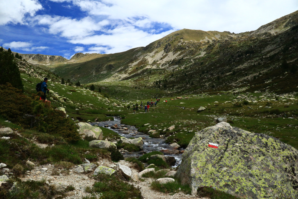
From here the landscape changes rapidly, taking on an alpine appearance.
7.7 km (1,982 m), 2h 15min LLosa River bridge. You cross to the other side of the Llosa river over a bridge. The landscape has changed radically and we are now in the middle of a high mountain environment.
In 5 minutes you reach the Prat Xixiurà, where the track ends and an equally pleasant path begins, enclosed in vegetation, in some sections.
9.2 km (2,060 m), 2h 43 min Vallcivera River. We have to cross the river. Here you have to be alert to the GR markings, as it connects a few meters with the GR 11, and you have to avoid getting confused in direction. This climbs following the Vallcivera River towards the west.
In a few meters you reach the meadow that houses the Cabana dels Esparvers, a well-preserved dry stone shepherd's hut integrated into the landscape, which can be a refuge in case of bad weather.
This is a key place, where several rivers come together: to the west, as we have said, the Vallcivera, which has been crossed and to which the Montmalús had just joined, and from the north comes the Engaït River, which follows the path that must be followed to climb to Portella Blanca.
Shortly after the hut, you must leave the GR 11. This climbs east towards Portella d'Engorgs.
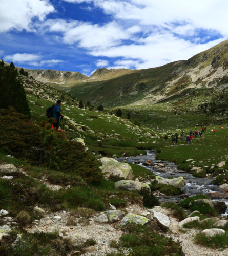
The path to follow is the one that climbs gently but steadily through the Engaït valley and, for the time being, keeps the stream on the right.
11 km (2,209 m), 3 h 14 min. It goes on the other side of the Engaït river. The path continues heading northeast.
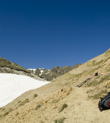
11.9 Km (2,306 m), 3 h 32 min. Detours. The trail begins the final climb describing loops and zigzags to gain altitude to the Portella Blanca pass, clearly visible to the east of this point, on the right according to the direction taken so far. For a while, until you pass the Portella Blanca, you are on Andorran soil.
13.5 Km (2,515 m), 4 h 10 min. About 300 m after connecting with the GR7 coming from the west, you reach the Portella Blanca Pass. It is the highest point -the ceiling- of the Path of Good Men. A large landmark marks the border between Andorra, France and Catalonia.
The view from the Coll is splendid, towards the Ariege department or the Cerdanya Nord, it can be seen the wide Campcardós valley that flows into Porta, and It extends eastwards, dominated by the lofty peaks of Puigpedrós, 2,914 m, Roc Colom, 2,686 m, and Peiraforca, 2,647 m.
The pass is just below the Pic d'Envalira, at 2,825 m, on the northern slope of which is the Pas de la Casa ski resort.
To the south you can enjoy the views of the Vall de la Llosa, which has been restored.
Once you have marveled at the views, you descend towards the east.
The path follows the bottom of the valley through open terrain. To bypass the Gros and Petit lakes -practically full of alluvial material-, the path passes on the other side of the watercourse to return, after a short while, to the other side.
18.9 Km (1,951 m), 5 h 27 min. In an area where the walls of the old pletas can be seen, you can see the Campcardós cabin, which can be a shelter in case of need.
We continue descending, always keeping the river on our right, an increasingly large and rushing river that, further down, forms small waterfalls.
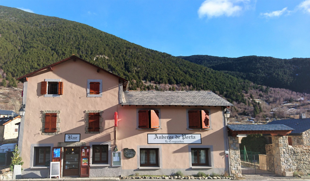
23 Km (1,513m), 6 h 30 min. Porta. End of the stage and end of the Catalan stages of the Camí dels Bons Homes, you are in the half of the crossing. From here, the route skips the Pimorent pass and enters Occitan lands to reach Montsegur in six days, passing through Mérens-les-Vals, Ax-les-Thermes, Orlu, Montaillou and Comus.
The train line - the station is right next to the town - can serve as a link with Tor de Querol and Puigcerdà.
.