Stage 07: From Porta to Mérens-les-Vals via the Coll de les Bessines: the secret lake of Haute-Ariege
Observations
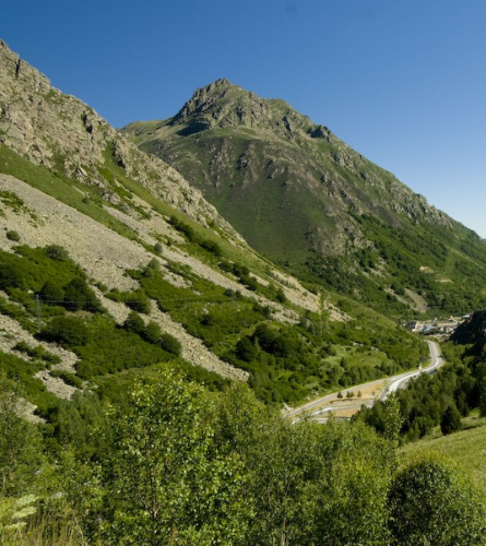
This stage of the GR 107, the part that goes through Les Bésines, is a route high mountain, designed for hikers with experience in certain technical difficulty. For this reason, a gentler and less technical variant is also proposed that descends to l'Hospitalet and passes through the Ariege Valley.
There is also the option of spliting the stage in l'Hospitalet or in the Bésines Refuge.
Description
0.0 Km (1,513 m) Porta. If you have entered the town, you must cross the tunnel again to be located west of the train track. Then you must continue along the paved road to the right, towards the north (continuation of the previous stage). In a few minutes there is another passage under the train track, which you should not do, continue on the asphalt road between the SCNF track and the Querol River.
In about 15 minutes you will find a bridge that crosses the Querol River. You must cross it and continue west of it.
1.6 km (1,560 m), 25 min. Right in front of the south gate of the Puymorens tunnel the path divides into two. You must follow the one on the left, which goes up. Shortly after there is a fork with a signpost at the confluence with the GR 7, both go left and up.
2.1 km (1,628 m), 37 min. After a very steep climb, in front of the Torre Cerdana castle and two high-voltage lines, the road ends suddenly. You must turn sharply to the left and enter the forest along a path. A few meters further on there is a new fork where the GR passes between two stone banks.
When you reach a crossroads, you must follow the path between the stone banks, to the right.
2.7 km (1,672 m), 48 min, Porté-Puymorens Ski Resort. The GR crosses the route of a ski lift, which makes it somewhat difficult to follow this path in the middle of the ski season and you have to be alert. Shortly after, the river crosses Pimorent River, where you also need to be alert, especially when the water is very low.
About 100 m further on you cross a ski slope and the path continues climbing through a fairly open area.
Approximately one km later, you cross the road that goes up the Puymorens pass for the first time. The path climbs more directly than the road that you will have to cross again later.
4.6 Km (1,915 m) 1h 30 min, Coll de Puymorens. Here there is a large parking lot and some station buildings. Cross the N-20 road to continue on the other side of the parking lot. To the right of the road, heading north, is the track that you must follow.
5.6 km (1,956 m), 1 h 47 min. The track crosses the river Rec d'Engracies by small bridge. Shortly after there is a junction where the main path turns right and goes up, but the GR turns and climbs along the track on the left.
6.6 km (2,043 m), 2 h 6 min. Fork. where you leave the main trail that continues up to the right. You must therefore follow a side path, to the left, which begins with a clearly descending path. In this place you can enjoy good panoramic views.
Further on you must follow the path on the left, which leads to the bottom of the l'Hospitalet valley.
8.3 Km (1,797 m), 2h 34 min The path crosses a pipe that descends from the east, it is a aqueduct which brings water to the l'Hospitalet station.
A few meters further on the path begins to descend following some curves. There is a small hut to the left of the path, which could be used as a shelter in case of emergency.
10 Km (1,595 m), 3 hrs. Fork with a signpost with the path that goes down to L'Hospitalet and that must be followed if you choose to do the Ariege Valley variant, you want to divide the stage in two by staying in l'Hospitalet or you simply want to make a stop there.
To continue the main route, you must continue climbing the straight path towards the northeast, towards the Coll de Bésines.
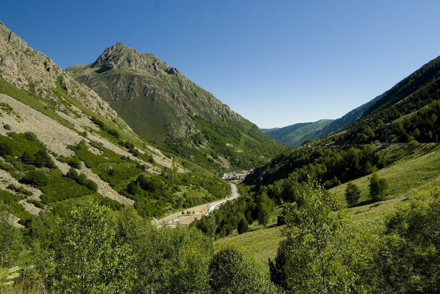
11.2 Km (1,693 m), 3h 21 min. Natural viewpoint, to the left of the path that goes up through the forest, there is a small outcrop, it is a sharp bend with a rock that makes a splendid natural viewpoint over the Ariege valley. Shortly after, you cross a scree slope. About 10 minutes later, you will find a new fork in the road. The GR continues to the left. After this point, you leave the mountainside and enter a valley that you must climb back up.
Further on, there is a new fork where there are two variants of the same path that meet again a few meters further on in a clearing. The path is stony and irregular and passes through a magnificent black pine forest.
13.2 km (1,926 m), 4 h 7 min. Train track, from here the path is an old train track. There are also some old buildings. Continue east towards the bottom of the valley.
14.5 km (1,985 m), 4 h 27 min, Bésines Cabin. It is the old refuge, the current one is a few kilometers higher up. This cabin functions as an open, free shelter, with tables, stoves and mattresses. A few meters ahead is the Bésines lake.
The GR continues along the lake and once past it, the path climbs a little up the mountainside, gaining distance and altitude from it.
15.8 Km (1,997 m), 4 h 47 min, Coma d'Anyell River. You cross over a footbridge and the path climbs up to the Refuge. A few meters before this, it joins the GR 10.
16.3 Km (2,090m), 5 hrs 3 mins. You reach the Bésines Refuge. A good point if you want to split the stage in two.
To follow both GRs, continue behind the Refuge towards the Portella de les Bésines, a first section with a gentle slope.
16.9 km (2,093 m), 5h 11 min. Signposted fork from where the path begins to climb more steeply. Further on you pass through a landing with scree. After a steep climb, you can see the pass to which the GR goes.
18 Km (2,333 m) 5 h 48 min. Portella de les Besines. The view is impressive. From here, all that remains is the descent through the valley, a descent that is not entirely easy as it passes between rocks and scree. In about 25 min you reach Estagnàs, a beautiful meltwater pond.
20.1 km (1,833 m), 6 h 36 min In an area where the waters meet, you must change direction to the west and continue downstream through the main valley of the Nabreil River, with some steep sections.
The valley is narrow and flanked by high peaks. In about 13 minutes you cross the Nabreil River using a small iron lever and change banks to continue the descent.
22.6 Km, (1,514 m), 7 h 15 min. Cascade du Nabre (Sault du Nabre). If you look closely, you can see a small jump in these crystal clear waters. Shortly after, the landscape becomes humanized again, with stone walls between crops. The path goes into a very humid forest until it reaches the sulfurous water pools.
24.5 Km (1,177 m), 7 h 49 min. Village d'En Haut. You reach the first houses on a paved road, you must follow it to the right.
Just after the bridge is the path that you will need to follow in the next stage.
It can be downloaded to the kernel of Merens-les-Vals continuing along the cobbled road that descends along the right bank of the Nabre river (10 minutes)
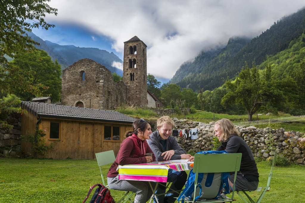
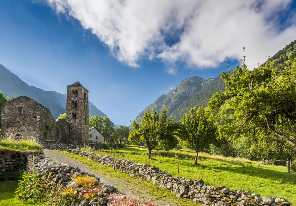
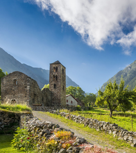
24.7 Km (1,152 m), 7 h 53 min. Romanesque Church of Sant Pere, Vives. End of the stage.


