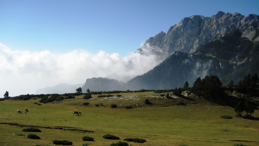
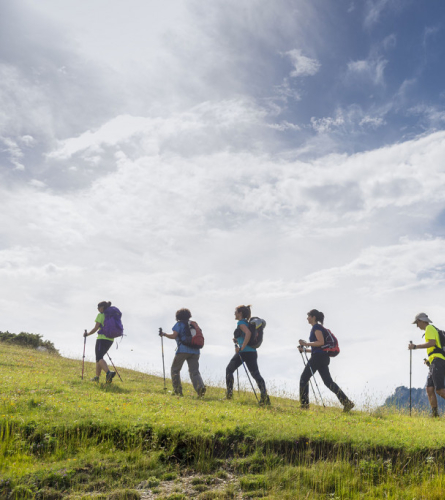
STAGE 03: From Gósol to Bagà: between the magical Pedraforca and the gentle face of Cadí
Observations
This stage can be shortened with the support of a vehicle at the Bena pass (Coll de la Bena), where a paved track reaches from Bagà and Gisclareny.
When you reach El Collell, you have the option to go down to Gresolet Sanctuary following a path on the Berguedà Path Network (yellow marks), where the Gresolet Refuge is located. From there you can return to the GR towards Bagà following the path that goes straight up to the Bauma pass.
Before reaching Bagà, at the fontaine Font Nostra, it intersects with the PR-C125, which goes to Els Empedrats and allows you to climb directly to the Refugi de Sant Jordi, where the next stage passes (direction Bellver de Cerdanya).
If you stay at the house of rural tourism Rustic Vilella you must follow the paved road for 6 km. Beyond the house, heading east, it is 9 km to Bagà on a forest track. If you make a reservation, you can ask to be picked up to save you those kilometers of asphalt. If you come form Gósol, they can pick you up at the Coll de la Bena, and if you come from Bagà the pick up point is Sant Joan de l'Avellanet. Above all, please mention this in advance because there is no tlelephone signal from Coll de Bauma to Coll de la Bena.
Description
0.0 Km (1,426 m). Gosol. From Plaça Major you must head north along the street to the left of the Town Hall. In the Agustí Pere i Pons little square you must turn left towards the northwest and exit on the outskirts of the town. Following the GR signs, a path climbs north.
1.7 km (1,629 m), 37 min. Font Terrers pass and leisure area. You must follow the path north. After about 400 m, the path that goes up to Pedraforca along the Verdet pass is left on the right. You pass the Coma dels Caners stream and climb to the meadows of the Portella mountain range. Here the path becomes blurred. You have to turn north to go through a gap in the mountains, a real rock door that serves as a passage.
2.7 km (1,753 m), 1 hour. Pas de la Portella. On the other side, walk 200 m in the same direction as before until the path turns northeast. Opposite, to the north, you can see the enormous and barren ridges of the southern slope of Cadí that fall gently onto the Josa valley, where a track climbs to the nearby Collell pass.
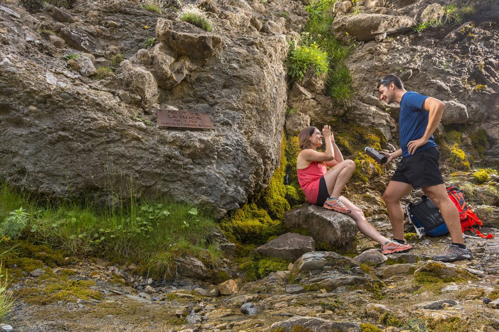
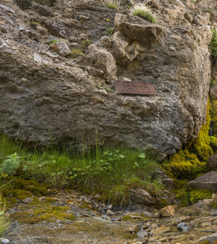
3.6 Km (1,753 m), 1 h 12 min. Source of the Rock (Font de la Roca) Natural spring that always flows. It continues flanking towards the northeast along the small trail.
4.4 km (1,833 m), 1 h 27 min. It connects with the track that goes up from Josa de Cadí, and continues up about 100 m until to el Collell (1800m). Here you will find the track that comes from the Lluís Estasen Refuge and that you must follow to the left, towards the Coll de la Bauma, in a gentle descent, skirting the southern ridges of Cadí and passing, successively, the Coll de les Bassotes and the Coll del Torn. To the south, spectacular views of the dizzying north wall of Pedraforca and the Gresolet valley.
At this point there is the option mentioned at the beginning of turning off and going down to the Gresolet Sanctuary.
11.3 Km (1,573 m), 3 h 6 min. Coll de la Bauma Magnificent view to the east over the Bastareny valley, which will be followed to Bagà. Leave the track on the right, which goes to Gresolet and Saldes. A little further on, after the bend, on the left there is a recreational area and the Bauma fountain, a good place to take a break. Then you have to continue walking down the track.
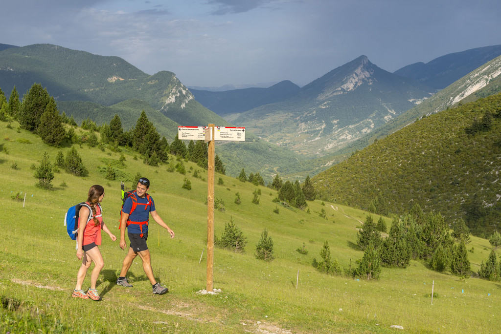
13.8 Km (1,434 m), 3 h 39 min. Coll de la Bena Crossroads of multiple tracks and paths. The paved road leads to Gisclareny and Bagà. It may be time to make a transfer by car.
To follow the GR, you must leave the track you were following and go down the path on the left in a northerly direction. Which descends steeply for 90 m to the Font Vella.There the path goes into the forest.
15.0 km (1,327 m), 3 h 56 min It crosses perpendicularly some tracks. It continues on the other side, under the thick layer of forest.
16.3 Km (1,143 m), 4 h 17 min. It goes out again in the track previous, which is now followed to the right, again in an easterly direction.
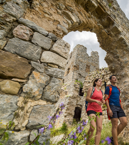
18.2 km (981 m), 4 h 43 min. In another sharp bend, leave the track and turn left onto the path that, in 200 m, leads to the abandoned farmhouse of Hill. A little further on, perched on a hill, is the Romanesque hermitage of Saint Martin of the Puig which, if you have time, is worth visiting.
Just to the left of the track, next to the first building, a path goes down through the forest until it ends at a new track that runs parallel to the Bastareny River and which you will have to follow to the right towards Bagà. If you continue to the left you will reach the Dou del Bastareny, the source of this river.
19.4 km (911 m), 5 h 2 min. It reaches the Hostalet neighborhood. Here begins the path the PR-C125 (Yellow and white marks) that goes up the valley, passing through the Empedrats pass and joining, at the Sant Jordi Refuge, the itinerary of the next stage of the Camí dels Bons Homes.
At this stage you must continue straight ahead, along the wide track that passes by the side of Can Cerdanyola, where is the Font Nostra. The track follows the course of the Bastareny River southwards and also reaches Bagà, but the GR proposes to follow it for only about 3 minutes until the height of the Can Cerdanyola football playground, where a path on the right goes down towards the river. This immediately narrows and becomes a pleasant, well-maintained path with steps and a protective railing. In sections where the path is narrow and slightly sloping, you must proceed with caution.
20.6 km (862 m), 5h 18 min. Tower or Patola Bridge, small bridge that allows you to cross the Bastareny River and climb through the grove, following the path that now runs along the right bank of the river towards Bagà. It gradually gains height and offers good views of the entire valley.
21.6 km (908 m), 5 h 35 min. The path ends at a forest track that you must follow to the left, and immediately you will find the Gisclareny road (just at the southern mouth of the small tunnel in the rock). Continue a few meters in the opposite direction to the tunnel and immediately continue along the path on the right. This initially runs parallel to the road, but immediately enters the forest to find the Nicholas' Way (Via Nicolau). This road was built at the beginning of the 20th century (1914-1916) to transport wood with animals from Gisclareny to Guardiola de Berguedà. In 2009 it was restored for tourist purposes.
At this point you can climb to the hermitage of Sant Joan de l'Avellanet, in about 15 minutes.
22.9 km (863 m), 5h 52 min. The path runs through landslide-prone terrain which has led to the installation of several walkways and protective barriers, as well as a suspension bridge of 35 m. A few minutes after this is the Bagà viewpoint, from where you can enjoy a good view of the entire valley. Later on you will also have to cross two tunnels.
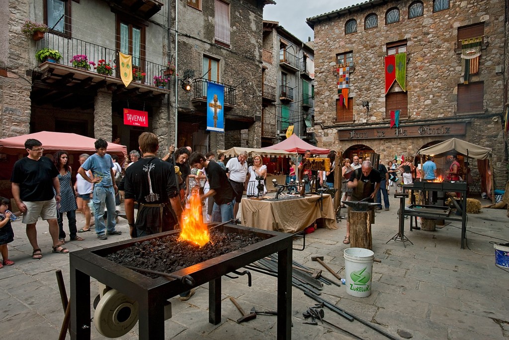
24.9 km (790 m), 6 h 19 min. The path, which is now wider from the tunnels, leads to an asphalt track that you must follow to the left for a few meters to go down to the Village Park and cross the Bastareny River by bridge of the Villa, and climb towards the church of Saint Stephen and the center of Bagà.
25.3 km (792 m) 6 hours 26 minutes, Bagà. Porchada Square of Bagà. End of stage